Our services
See what we do

To provide a long-lasting quality service of land survey
and underground mapping to clients in the industries in the Malaysian market

Topographic
Survey

A topographic or topographical land survey shows the height, depth, size and location of any man made or natural features on a given parcel of land, as well as the changes or contours in elevation throughout the parcel.

  • Construction and architectural projects
  • Environmental restoration and property improvements
  • To fulfill regulatory requirements for construction codes
  • Guidance for setting up grading or drainage ditches
  • When land developed for one purpose is being used for another purpose

Engineering
Survey

Engineering Surveying is the broad term used to describe the work of surveyors on civil engineering jobs. The role of an engineering surveyor is a lot larger than simply set out for construction of a structure and survey pick-ups.

  • Engineering Surveyors will usually be the professionals who first examine a finished design for a project
  • Identify any design or practicality issues

Drone
Surveying

Unlike manned aircraft or satellite imagery, drones can fly at a much lower altitude, making the generation of high-resolution, high-accuracy data, much faster, less expensive and independent of atmospheric conditions such as cloud cover

  • Reduce field time and survey costs
  • Provide accurate and exhaustive data
  • Map otherwise inaccessible areas

During these years
we worked for

Underground Utility Detection Mapping


Underground utility mapping is a survey using geophysical techniques to create a digital representation of what is buried underground.

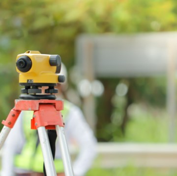
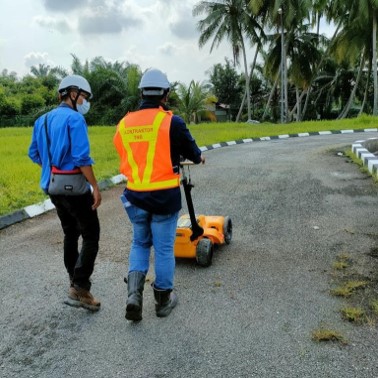
The survey composes a highly detailed below surface profile using the latest technology, including Ground Penetrating Radar (GPR) equipment, and Electro-Magnetic Locators (EML).

This technology is used to interpret reflected signals from structures, services, buried objects, and layers beneath the ground – ultimately providing vital detail required for project planning ahead of any prospective works


Remote Sensing


Remote sensing is the acquisition of information about an object or phenomenon without making physical contact with the object and thus is in contrast to on-site observation.

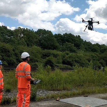
Remote sensing is used in numerous fields, including geography, land surveying and most Earth science disciplines such as in hydrology, ecology, meteorology, oceanography, glaciology and geology.

It also has military, intelligence, commercial, economic, planning, and humanitarian applications, among others.

In current usage, the term "remote sensing" generally refers to the use of satellite or aircraft-based sensor technologies to detect and classify objects on Earth.


Geographic Information System (GIS)


A geographic information system is a framework for gathering, managing, and analyzing data.

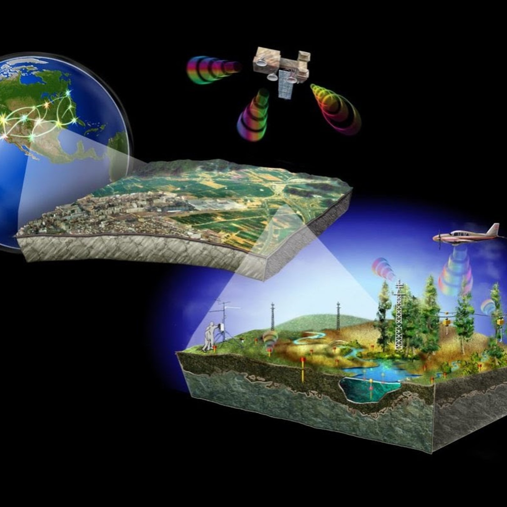
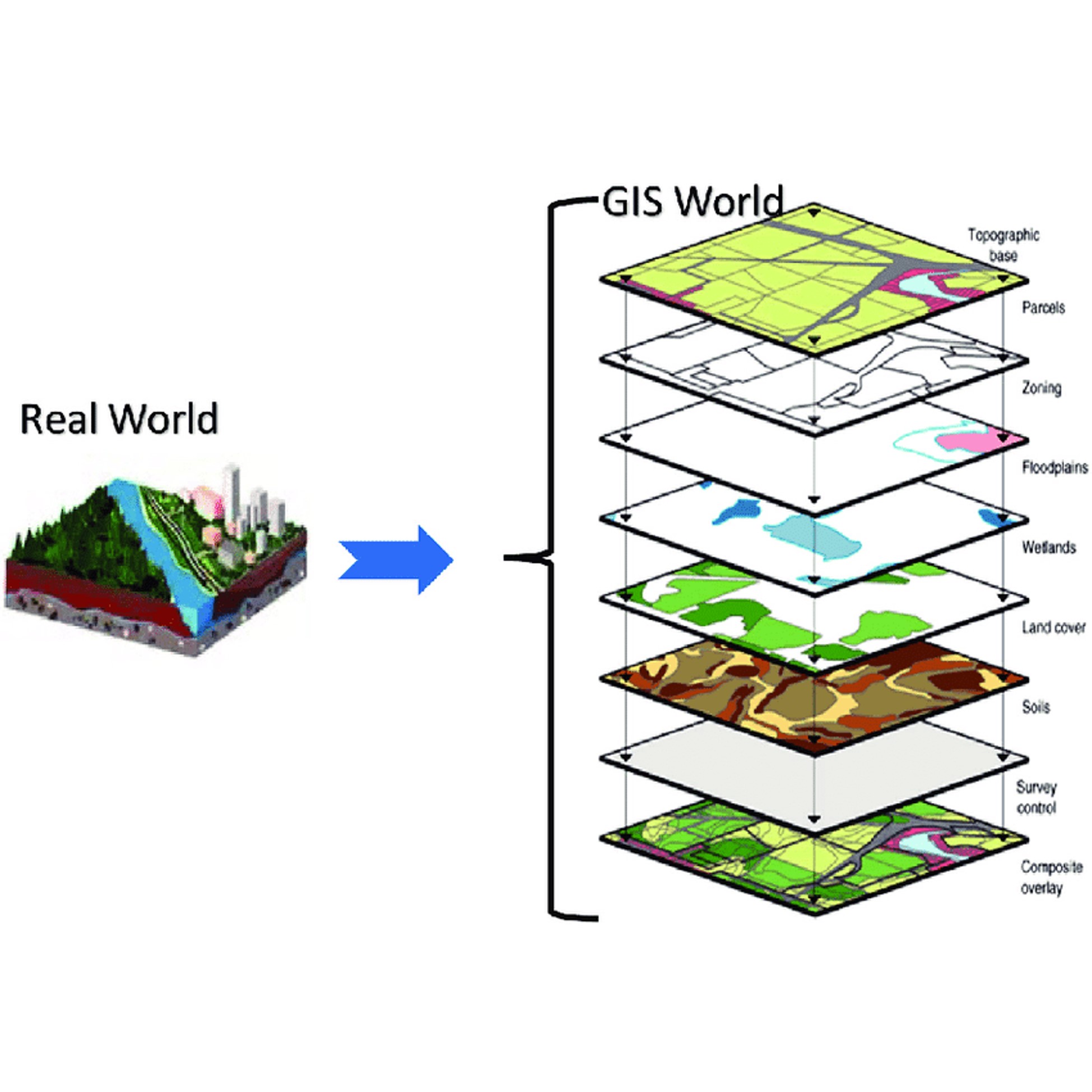
Rooted in the science of geography, GIS integrates many types of data. It analyzes spatial location and organizes layers of information into visualizations using maps and 3D scenes.

With this unique capability, GIS reveals deeper insights into data, such as patterns, relationships, and situations—helping users make smarter decisions

Land Matter Consultation


There's something about standing on your own private acreage and letting that soil sift through your fingers; a feeling of pride, independence and security as you survey your personal property.

Our company provides high quality consultation on subdivision/partition of land, conversion of lands, amalgamation of lands, surrender and re-alienation of Lands, subdivision of buildings and land parcels for strata title purposes and other related land matters


Want to know more?
Contact with our business consultant


Contact now